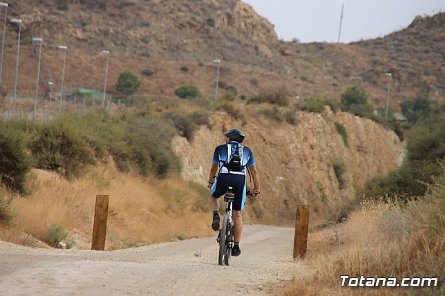
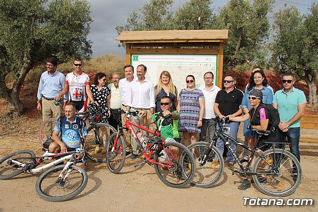
The new Totana-Cartagena Greenway, which has been designed by the Consortium of Greenways of the Region of Murcia entity that belongs to the Institute of Tourism, has already become during these summer months a first-class tourism and sports claim, and Is one more attraction for lovers of cycling and hiking in the region of Guadalentín and the Region.
The Cartagena-Totana Greenway project and the La Pinilla-Mazarrón branch, which has been practically launched in the last year, has been a major axis of more than 60 kilometers for activities such as trekking and cycling.
In the last two years, the municipal government of the City of Totana has made efforts with this regional Consortium and the Tourism Institute itself to collaborate on the peculiarities of this project and how it would affect this municipality.
This contemplates the endowment of this route as an ecotourism route that has been used for about two months as a playful and environmentally friendly approach and as itinerary, of great ecological value and landscape integration, not motorized between these populations.
The initiative has had a budget of 2.1 million euros, which have been fully funded by Feder Funds and the Autonomous Community of the Region of Murcia.
The layout is the result of an ambitious project of principles of the last century whose main objective was to unite the military bases of Cadiz and Cartagena;
And that in the case of the Region of Murcia was in the modest intention to unite the region of Guadalentín with the one of the Field of Cartagena and Mazarrón.
The initial execution contemplated the construction of the platform but never arrived to install the tracks, with what never became railroad;
And what has been tried now is to take advantage of this infrastructure, by means of the conditioning of said platform of the railway for use as a greenway.
The project of conditioning combines the most significant nuclei of the route Totana-Fuente Ãlamo (32 kilometers), Fuente Ãlamo-Cartagena (21 kilometers) and the branch La Pinilla-Mazarrón (13.8 kilometers);
And the works began at the beginning of last year 2016 and ending a few weeks ago.
In addition, this includes the restoration of the trace in those areas where it has been occupied, conditioning and improvement of the existing firm for the practice of hiking and cycling and construction of drainage works for proper operation and conservation.
It also includes signage on all vertical and placement of protection elements both for the user (railings) and to avoid the passage of vehicles and environmental recovery, with numerous plantations of native species for the creation of shade zones and the habilitation of Areas of rest along the route (every 600 or 800 meters).
The road's signature is by means of a single multi-functional treatment, using a stabilized zahorra soil mixed with cement for use on foot, bicycle and other equestrian or ecotourism-related activities.
The route depends to a large extent on the Administrator of Railway Infrastructures (ADIF) with which an agreement was signed for assignment of use and the project is integrated into the National Greenways Program, coordinated by the Spanish Railways Foundation under the Ministry of Promotion.
The project is initiative of the Autonomous Community and in the same are integrated up to 15 murcian municipalities by which the routes run.
Downward direction of the route
The route, if it is made in descending direction, begins in the railway station of Totana.
To our back are the forests of Sierra Espuña, in contrast, the route chosen goes into the barren desert of Campo de Cartagena.
For some hikers a long straight line of almost twenty kilometers may seem monotonous and boring while for others it will serve to concentrate on a rhythmic pedaling.
In the first kilometers we will be immersed in a landscape of orchards and plantations that squeeze the water of canals and ditches to the last drop.
Abundant groups of workers dedicated to the hard work of maintenance and harvesting of fields.
In kilometer 12 the solitary station of El Romeral comes to pass.
The junction with the old line of Mazarron was made later, at the station of La Pinilla (Km. 20) from where the green route is heading Mazarron.
The route continues straight towards Cartagena, but in case of necessity we could supply us in this small rural nucleus.
At kilometer thirty we arrive at the following locality of importance: Fuente Ãlamo de Murcia, whose urban helmet has to be crossed since the road is lost momentarily.
A new interruption caused by the presence of a factory forces us to do about four kilometers by road.
La Aljorra will be the last important population before arriving at the zone of influence of Cartagena locality to which we arrive through the districts of Llagostera and of Los Dolores where ends the route to little more than five kilometers of the urban center of the city .


