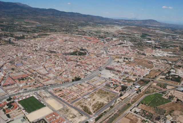
The City Council of Totana handle the design of a digital map of the parishes of the municipality to collect road network and places of interest for integration into devices with GPS navigation system through the proposal submitted by the Mayor, to be discussed in plenary to be held on Thursday 30 December.
Furthermore, this proposal calls for the document is prepared in both geographic coordinates and UTM coordinates and move to companies specializing in the management and distribution of this communication system and that the City work on improving vertical and horizontal signaling of roads in the hamlets of Totana.
The town of Totana, as he explained the mayor of Totana, José Martínez Andreo, has a long and complex road network and is crossed by two major road systems: the Mediterranean motorway (A-7) and N-340 belonging to roads Interest Network General (GOVERNING).
Totana is located in a geological area that is one of the most complicated of all the geography of Murcia for its varied topography, with several units, although they are closely related, have unique characteristics that differentiate them from other municipalities regarding Murcia, through of which are dozens of roads that surround them.
Currently there are more municipalities that are integrating the communication system GPS (Global Positioning System: Global Positioning System), a global tool of navigation satellite system (GNSS) which he said Martínez Andreo, to determine worldwide the position of an object, person, vehicle or a ship, with an accuracy up to centimeters (when using differential GPS).
GPS works through a network of 32 satellites orbiting the globe at 20,200 miles with synchronized paths to cover the entire surface and that is useful and operational for civil applications.
Therefore, and taking into account the broad and complex road network and offer very numerous tourist attractions and natural look in different districts of Totana, the mayor has stressed the need to implement the system in the municipality.


